Agricultural production risks
- Multitemporal crop monitoring and crop yield estimation.
- Estimation of damage and losses due to drought, hail damage, flooding, frosts, unseasonal weather, crop destroying pests and diseases.
- Automatic production of systematic agrometeorological maps based on satellite images.
- Support to the agricultural insurance industry and public policies.
- High resolution soil moisture maps based on SAR technology.
Public policies
- Geospatial intelligence of land ownership and tenure conflicts for peasantry and small farmers.
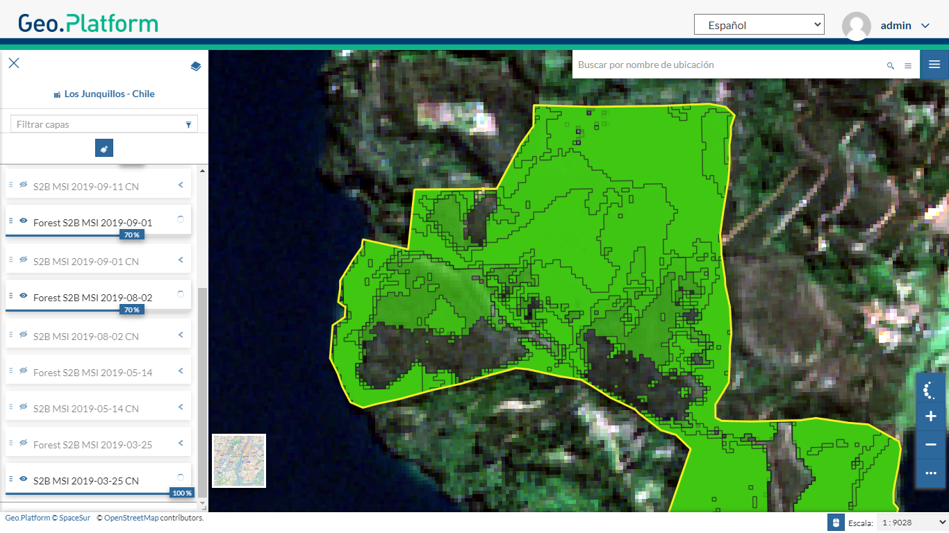
- Forest and agricultural-livestock management plan tools for sustainable production and conservation of native forests.
- Monitoring of changes in native forests for deforestation control. Measuring carbon stored in forests for the carbon credit market.
Land ownership and tenure conflicts for peasantry and small farmers
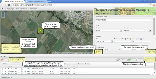
Agriculture Decision System
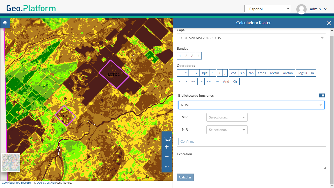
Crop Monitoring with Satellite Imagery