HEALTH & HUMANITARIAN AID

Population and vulnerability estimation
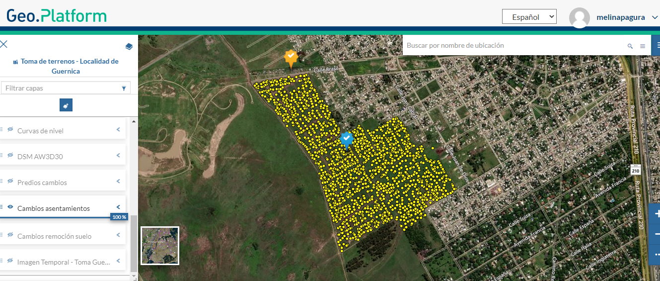
- Geo-spatially located population high resolution (100x100m) grid estimates with disaggregated parameters for areas where official population information is not available, accurate, or updated.
- Critical for public policies, vaccine and food distribution,campaign planning, and execution monitoring.
- Grid cell size of 100x100m, yearly or seasonally updated, that includes location information and tabular demographic parameters.
- Adapted to urban and rural areas, including nomad population.
Geospatial intelligence solutions for Health
- Web based Reach Every District protocol GIS tool, for vaccination campaign planning, and vaccination campaign execution/monitoring.
- Geolocation module and dashboard based on data from the Official Health Information Systems, notifiable diseases, vaccinated population, among others.
- Data model designed for data consistency and quality in its different dimensions: completeness of records and the spatial component.
- Indicators and analytical reports obtained by user defined filters and custom areas of interest, including local, state and national.
Natural hazards and Risk Management
- Risk management solutions for emergencies and catastrophes including earthquakes, floods, landslides, wildfires, armed conflicts, among others.
- Collaborative web tools for risk maps development.
- Rapid mapping services for emergency response.
- Estimation of damage and losses maps.
- Rehabilitation and reconstruction monitoring in affected areas.
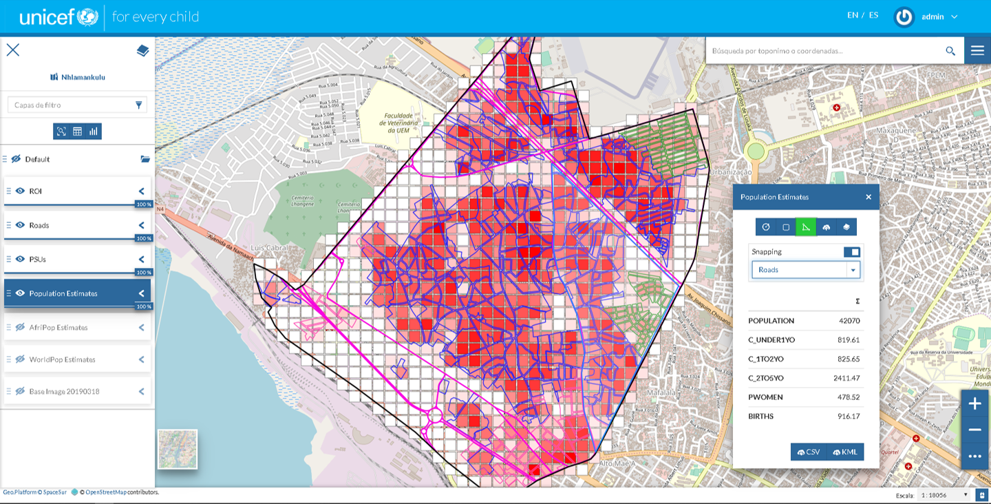
Population Estimation
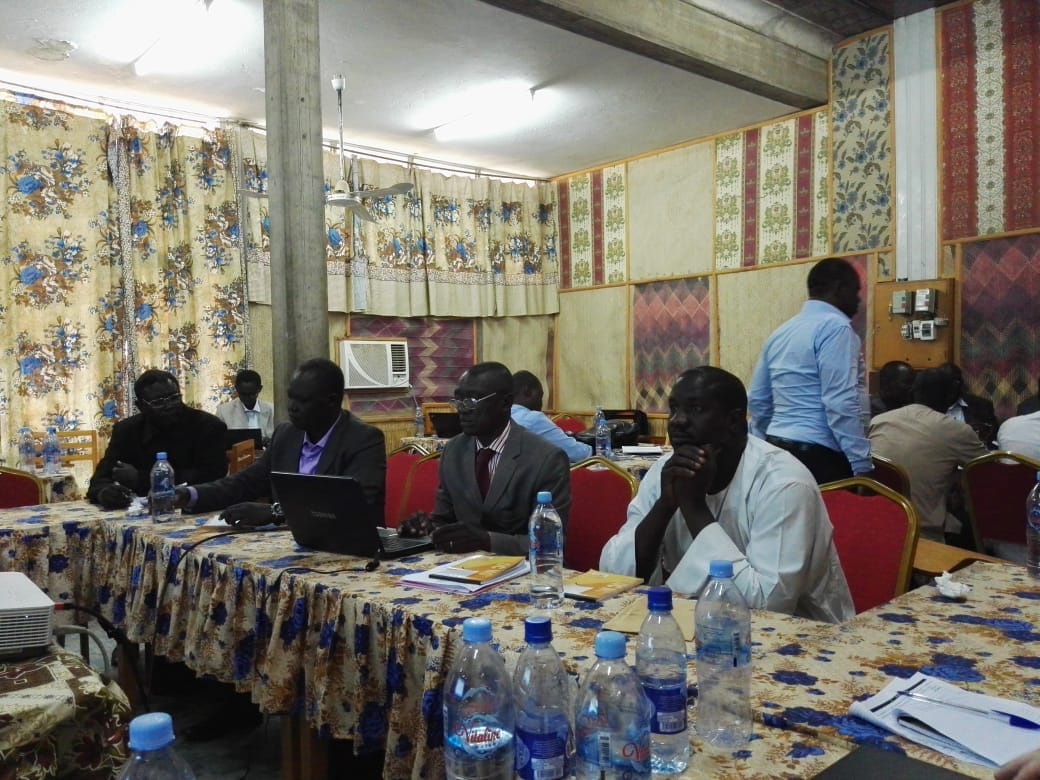
User Training in Africa

Estimación de área afectada por inundaciones a partir de imágenes SAR