TECHNOLOGY
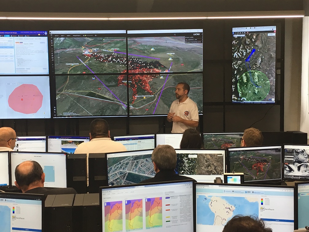
Geo.Platform is our powerful technology framework for developing adapted and cost-effective geospatial and Earth observation solutions for different industries and customer needs.
Powered by artificial intelligence and big data technologies, Geo.Platform gives access to satellite constellations and historic image catalogue; integration with other data sources such as geographic and relational information, drone images, smart phones, IoT; data analytics processing and insights generation; visualization and analysis tools.

Software Modules
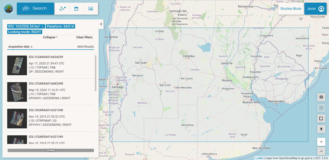
• Satellite access and image catalog system
• Geospatial dashboard and datahub OGC compliant
• Data lab and processing engine
• Smartphone data collection app
Satellite Virtual Constellation
• Multispectral and hyperspectral HR
• Optical VHR and Ultra VHR
• SAR X-band, C-band, L-band
• Thermal and RF sensors
More Data Sources
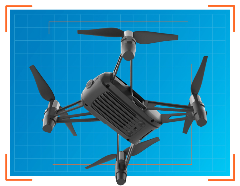
• Drone images
• loT devices
• Databases and data services
Data Analitycs
• Optical remote sensing
• SAR processing
• Computer Vision & machine learning
• Photogrammetry
• Advance geospatial models
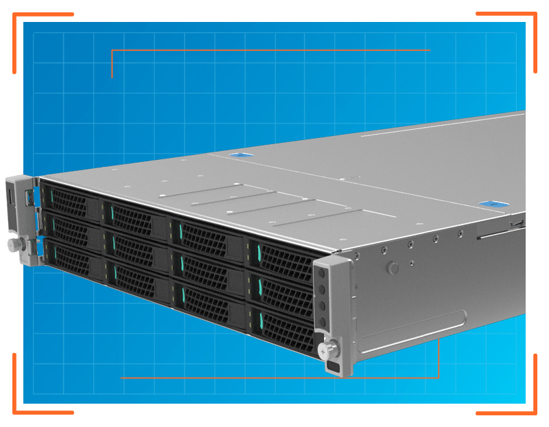
Hardware infrastructure
• Cloud and EO big data platform
• On premises
• Monitoring center
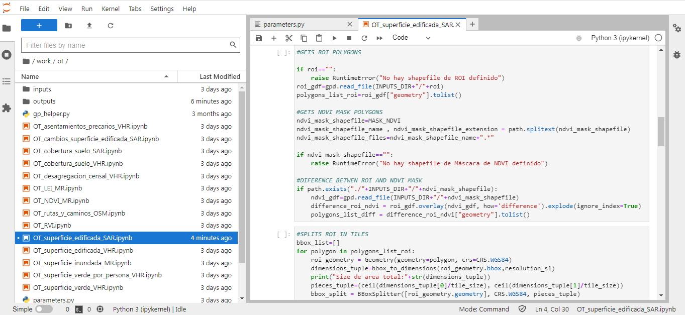
Data Lab
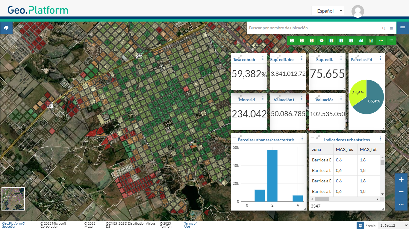
Geospatial Dashboard
Mission User Care