SPACE FOR DIGITAL TRANSFORMATION
Our mission is to generate a positive impact on business and society based on the application of space technology for digital transformation.
WHO WE ARE
We are a company specialized in software engineering and solutions applied to the entire aerospace cycle, from the development of satellites and complex systems, to the implementation of geospatial solutions with high added value for different industries.
OUR TECHNOLOGY
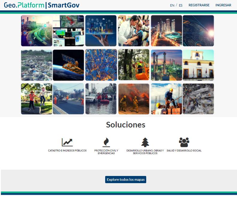
Geo.Platform is our complete and flexible geospatial and Earth observation framework, that enables adapted and cost-effective solution development for different industries and customer needs.

OUR SOLUTIONS
Based on our geospatial technology, we develop and operate adapted, cost-effective and high impact solutions for different sectors, industries and customer needs.
OIL & GAS + MINING
GOVERNMENT & SMARTCITIES
EARLY WARNINGS & EMERGENCY RESPONSE
DEFENSE & SECURITY
AGRICULTURE & FORESTRY
HEALTH & HUMANITARIAN AID
INFRASTRUCTURE
AEROSPACE
EDUCATION
NEWS

SPACESUR and CLOUDFERRO sign agreement for Earth Observation Big Data Platform
April 12 2022, City Of Buenos Aires, Argentina.- Within the framework of the visit of the president of POLSA (Polish Space Agency), Prof. Grzegorz Wrochna, and the signing of a cooperation agreement with CONAE (Argentine Space Agency), represented by its Executive...
SPACESUR y UNICEN se unen para llevar tecnología espacial a los municipios de nuestro país
El proyecto “Desarrollo de un sistema integral de información satelital para la gestión y planificación urbana, de UNICEN y SPACESUR” fue seleccionado por la CONAE (Agencia Espacial de Argentina), con el apoyo del Banco...
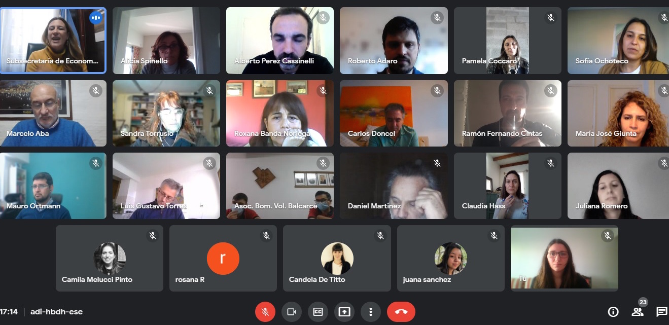
Encuentro del Programa de Municipios Inteligentes”. Herramientas geoespaciales al servicio de la construcción de Gobierno 4.0.
El 28 de julio del presente se realizó un encuentro virtual entre Municipios y Autoridades del distintos organismos públicos y privados para revisar avances en el desarrollo del Programa que promueve estrategias de transformación digital para Gobierno 4.0 basadas en...